I thought I would share the fall color progression that occurs from Campbell Overlook as one looks up at Balsam Point. Colors cascade down the mountain beginning in late September from the very top and don't reach the bottom until mid November. The transformation from green to gold is staggering and an incredible sight to behold.
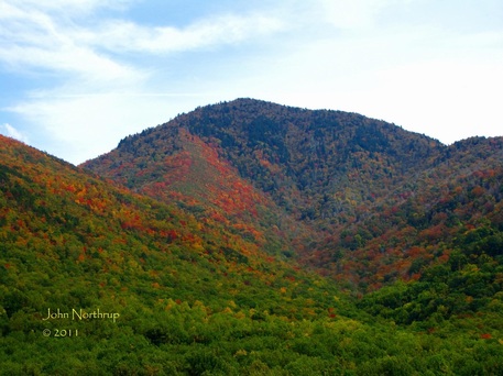
October 9, 2011
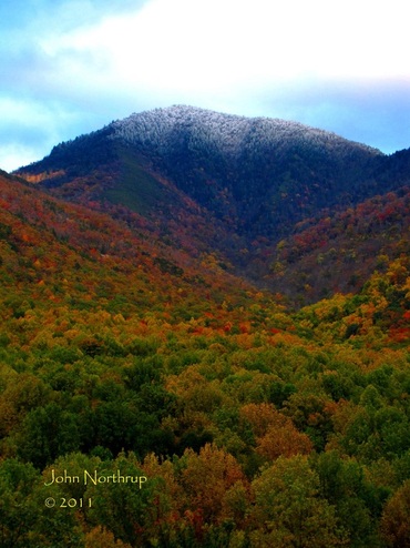
October 20, 2011
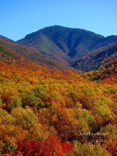
November 1, 2011
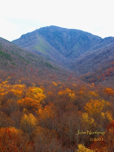
November 13, 2011

 RSS Feed
